
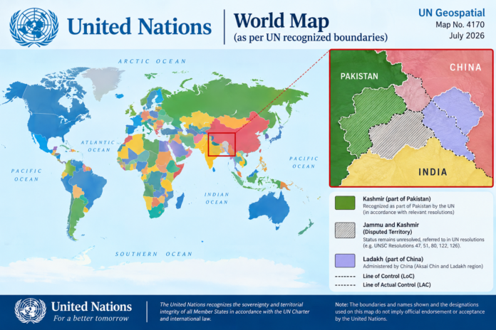
NEW YORK: A United Nations Geospatial world map released in July 2026 has renewed attention over the disputed status of Jammu and Kashmir, with the Line of Control shown separately between the areas administered by India and Pakistan.
The map also depicts parts of the India-China border region using different claim lines, including areas around Ladakh and Aksai Chin, reflecting the competing territorial claims in the region.
The development has drawn a strong response from New Delhi. India has reiterated that Jammu and Kashmir and Ladakh must be represented according to its official map, calling any inaccurate or misleading depiction unacceptable.
The UN General Assembly’s September 4 resolution focused on promoting equal-area world map projections and did not endorse any specific political map, settle territorial disputes or determine international boundaries.
The latest map has nevertheless renewed international attention on the longstanding territorial disputes involving India, Pakistan and China

